Other Services
FLAT OUT METRO PTY LTD Servicing Melbourne, Geelong, & Beyond
Feature & Topographic Surveys
As the starting point of any land development, feature and level surveys (contour surveys) are used by a range of designers and developers.
Our feature and level surveys detail all features unique to every site.
They include:
- Existing buildings and dwellings
- Height’s spread and tree locations
- Neighbouring buildings including windows and window heights
- Neighbouring eave, gutter, floor levels and ridge heights
- Street details
- Assets such as drainage, communication pits, sewer and electrical services
Once all data is collected, our highly skilled staff produces both AutoCad (DWG) and PDF files for either yourself or your design team.
These plans not only include the above but also:
- Site levels either to Australian Height Datum (AHD) or to an Arbitrary Datum
- Contours at 0.2 m intervals (or as requested)
- Fences and types
- Easements, boundaries and building envelopes if applicable
All feature and level surveys can be tailored to suit your needs.
FLAT OUT METRO PTY LTD uses and combines the latest technology to produce and deliver our key value of high accuracy at cost affordable prices.
GPS Surveys
Our GPS surveys at FLAT OUT METRO PTY LTD can be used for large-scale projects such as earthworks and stockpile pickups for volume reports. Although this is a quick and low-cost approach, there is some limitation to this service. As GPS requires satellites, generally a clear and open site overhead is required for best results. Our GPS surveys can determine location and levels to approximately ±20mm.
Project Management
FLAT OUT METRO PTY LTD not only provides surveying services to major infrastructure projects but some of our highly talented and skilled staff can also provide the services that generally aren’t offered by other survey companies.
With a wide range of projects and experience throughout the industry, our team can help identify key design problems before they impact costly on a project. We have worked amongst some of Australia’s leading tier 1 contractors and know how to work smart and safely within the time and financial pressures that come along with such projects.
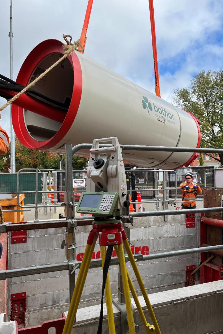
3D laser Scanning
At FLAT OUT METRO PTY LTD, we pride ourselves on acquiring the latest technology to provide highly accurate services, which is why we offer 3D laser scanning. 3D laser scanning locates the millions of points that produce a point cloud. These millions of points within the cloud all individually contain their own 3-dimensional values of the scanned surface or building, allowing you to view your scan and take measurements from multiple angles. This ensures you're making the correct decisions with confidence on your project.
Our 3D models can be created in any format you require.
No matter how big or small your project is, 3D laser scanning is a cost-effective service that has many benefits, including the ability to complete a scan very quickly while minimising disruption to public services or the site and the option to work safely out of harms way.
Monitoring Surveys
If horizontal or vertical movement is what your chasing, FLAT OUT METRO PTY LTD can help you. From earthworks to buildings to structures and everything in between, we can report on all aspects. This allows our clients to react quickly and confidently to the data they receive. Reports are produced in either spreadsheets or graphs or a combination of both, allowing you to view all results and aid in the decision-making process.
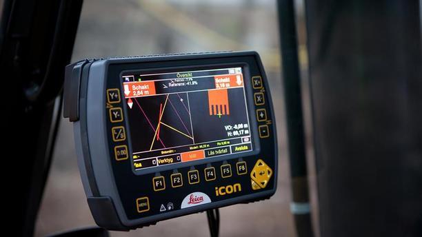
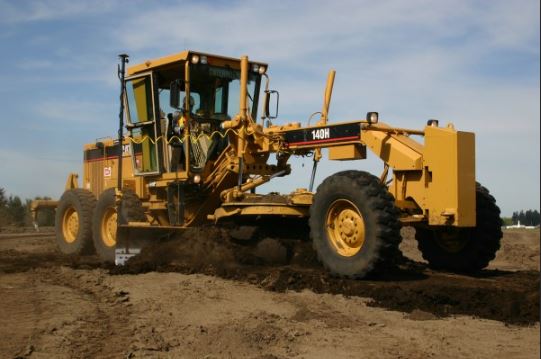
Machine Control
FLAT OUT METRO PTY LTD offers a range of cost-effective solutions to help aid in the implementation and data management for machine control systems. From Topcon, Leica and Trimble, we can create and output models to a variety of systems to ensure all operators are using the most up-to-date data.
If your project requires an establishment of such systems, we can also help in the management and purchasing of frequencies and base station setups. All licences and frequencies are approved by the Australian Communications and Media Authority (ACMA).
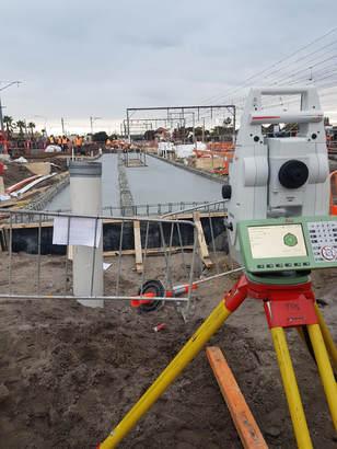
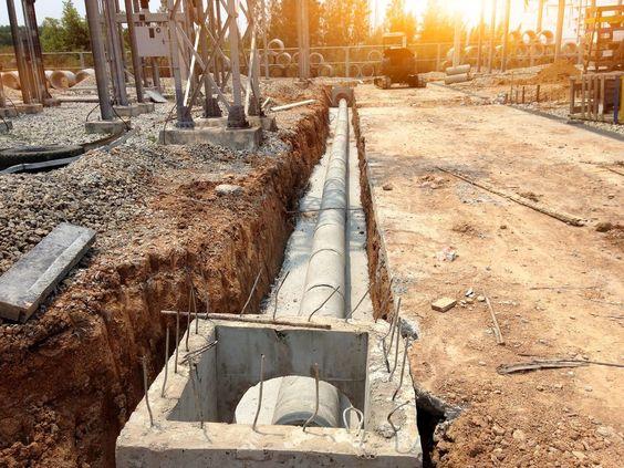
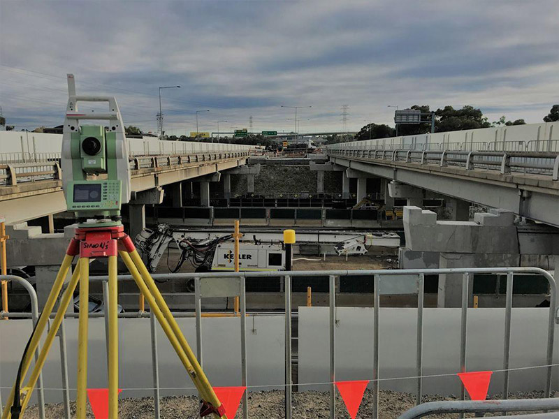
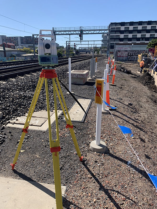
Engineering & Infrastructure Surveys
FLAT OUT METRO PTY LTD offers a variety of services and solutions to help meet all your project needs from beginning to completion.
Our skilled staff has worked on many different projects throughout Australia and overseas and can help in the process of what surveys and reports are generally required and at what stage they are needed.
Surveys in this area may include:
- Pavement conformance reports
- End of month surveys
- Volume reports
- Asbuilt surveys and reports
- Location of services both placed for the project or existing
- Structural setout
- Drainage setout
- Sewer setout
- Bulk earthworks
- Civil works
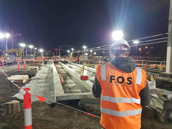
FLAT OUT METRO PTY LTD
FLAT OUT METRO PTY LTD can either manage your project or work cohesively with the contractor’s own survey team.
We have the ability to run up to 15 survey crews to help manage those short notice occupations and shutdowns, whether it be night or day.
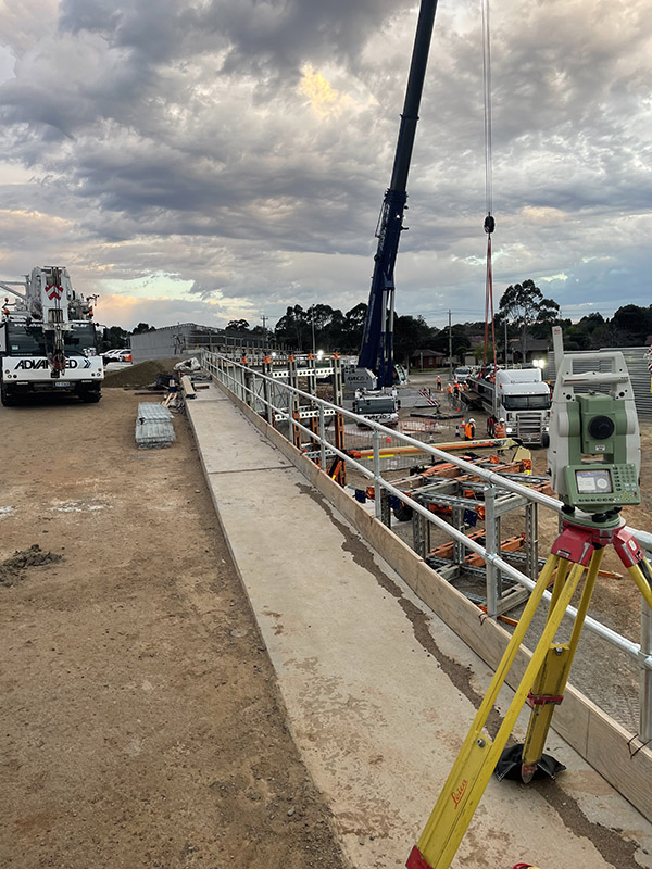
Building & Construction Setout
From domestic houses to industrial and commercial and multi-storey buildings, FLAT OUT METRO PTY LTD can help assist you with any project no matter how big or small.
Our service includes:
- Gridline setout
- Finish Floor Levels (FFL’s) & Temporary Benchmarks (TBM’s)
- Plumbing and electrical setout
- Civil works
- Pile and bored pier setout
- Precast element setout
- Column setout
- As-built surveys
After all site visits, our clients are issued with a site plan highlighting area of works.
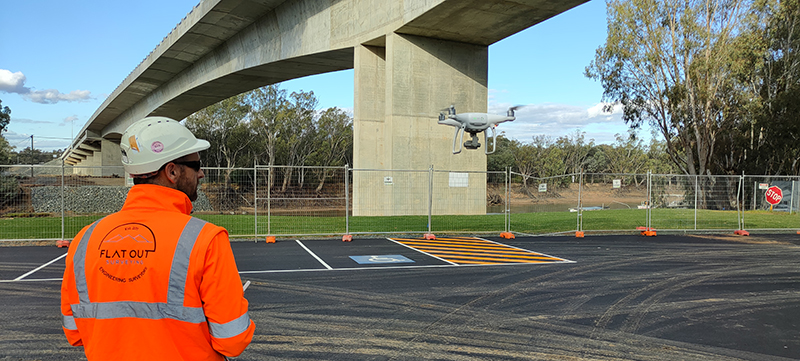
UAV Surveys
Services provided:
- Surveying, mapping, volumes
- Georeferenced orthophotography
- Land and vegetation classification (NDVI)
- Visual inspection
- Site visuals and simulations
Other uses for aerial surveys:
- Safely track the progress of your project
- Capture vast amounts of survey data and imagery over complex and large projects in a short period of time
- Reporting of quantities and conformance
- Provide the best solution from a few hectares to hundreds of square kilometres
Benefits of aerial surveys include:
- Safe and efficient method of capturing large areas of survey data
- Cost-effective option
- High accuracy surveying – single point of truth and reference
- No delays from interfering with ground work
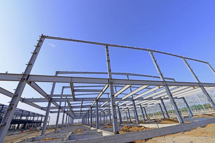
Structural Steel Setout
Services provided :
- Hold down bolt as-built surveys
- Steel Verticality
- Cleat setout for line and level
- Existing site verification surveys – locating columns, beams, purlins etc.
- All required as-builts
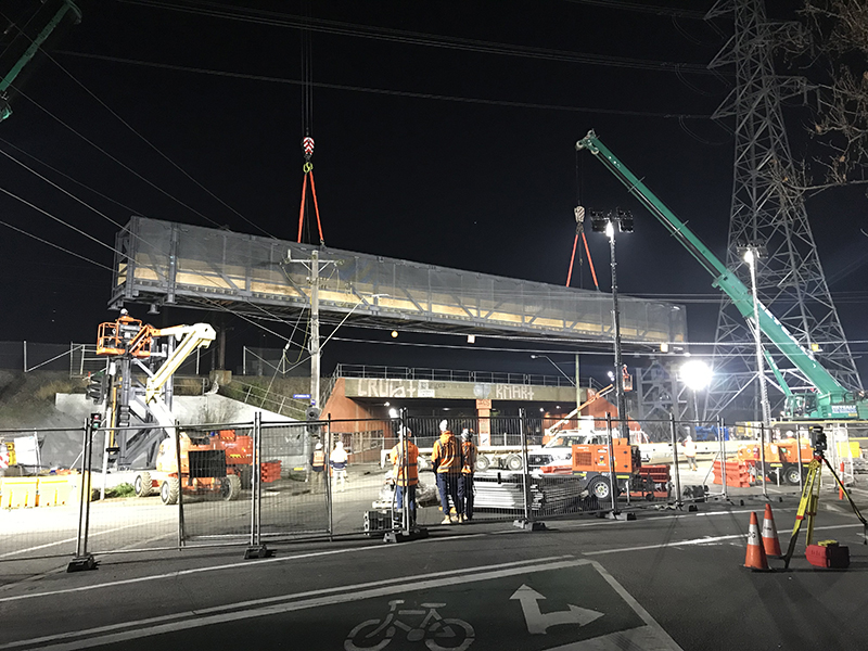
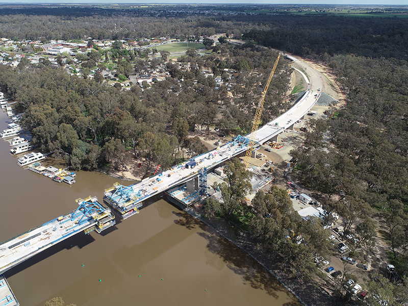
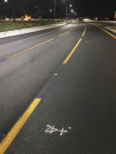
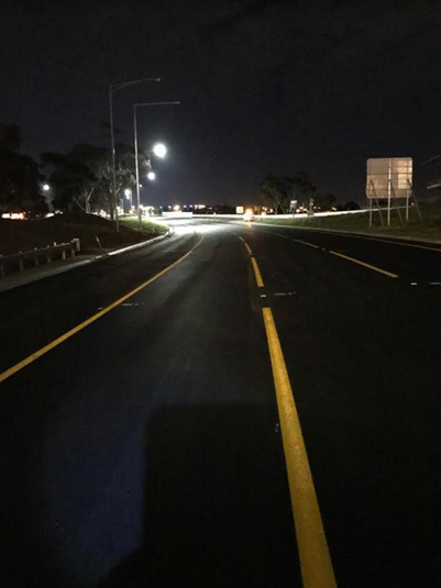
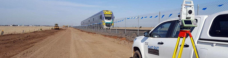
Civil / Engineering
FLAT OUT METRO PTY LTD has highly experienced staff available for civil construction projects. Night and day shift capabilities. Rail safety and OH&S implementation and compliance. Contact us for more details.
- Freeways
- Rail
- Road duplications
- Earthworks
- Structures
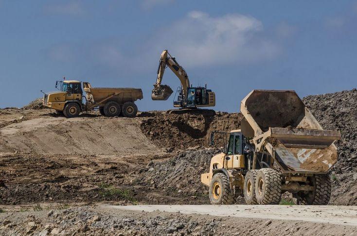
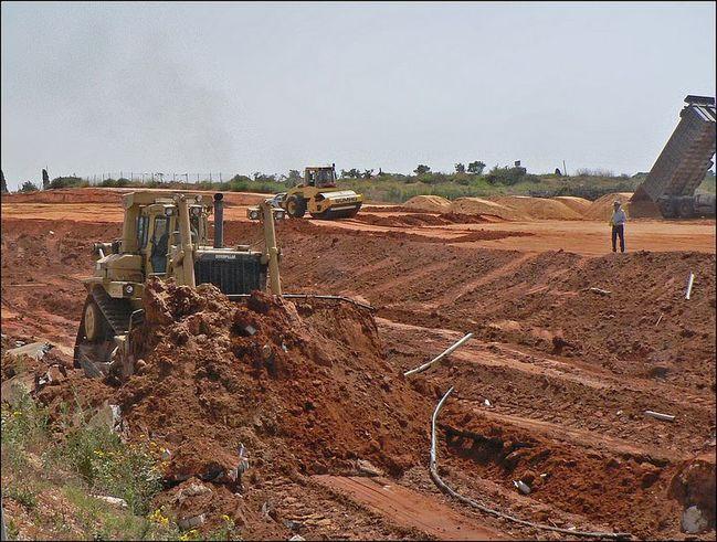
Earthworks
Drainage Works
Asphalt Works
Structures
Rail Works
Mining
FLAT OUT METRO PTY LTD has the hands-on experience and capacity to service remote mining projects throughout Australia.
We have a direct understanding of relevent safety procedures, mining industry OH&S and the importance of both to the client and principle contractors
Projects
- Buffle Park Mining Camp, Moranbah QLD – DECMIL
- Grosvenor Expansion, Moranbah QLD – Mainteck
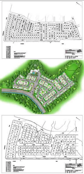
Subdivisions
- Full 3D modelling for setout
- Machine automation uploads – TOPCON/LEICA/TRIMBLE
- All site setout – sewer/drainage/pavement/services and utilities
- Initial site levels and volume computations
Projects
- Rosenthal, Sunbury VIC – Winslows
- Stonehill, Bacchus Marsh VIC – Winslows
- Robbs Road, West Footscray VIC – ACI
- Banool Road, Balwin VIC – ACI