Drone Mapping - Yarraville
Give FLAT OUT METRO PTY LTD a call for effective drone mapping of your land in Yarraville!
Welcome To The Future
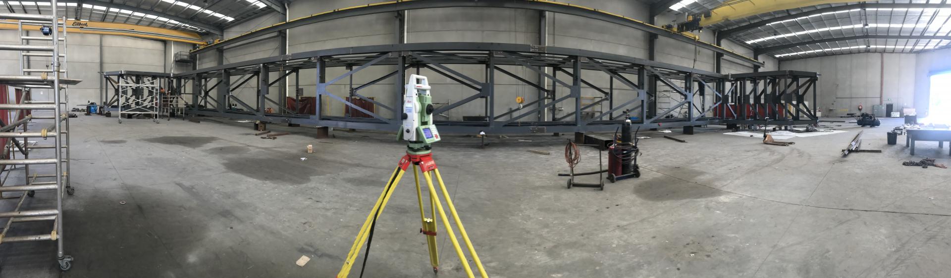
With FLAT OUT METRO PTY LTD's cutting-edge drone mapping services, surveying and mapping have entered a new era. You've arrived at the ideal location if you're searching for accuracy, effectiveness, and the capacity to explore isolated or difficult terrain. Our photogrammetry mapping services use high-resolution cameras placed on sophisticated drones to collect precise aerial photos. To produce precise 2D and 3D maps, models, and orthophotos, these pictures are processed using specialist software. Our team of professional surveyors and drone operators is here to take your projects to new heights with a passion for innovation and a dedication to producing exceptional outcomes.
LiDAR Mapping
Our LiDAR mapping services use state-of-the-art laser technology to precisely measure distances. LiDAR-equipped drones collect data that is processed to produce incredibly accurate 3D point cloud representations of the scanned region. Drones acquire data with extraordinary precision, giving accurate measurements and topographical data. We are aware that each project is distinctive. We serve a broad range of businesses, including building, farming, real estate, and environmental protection. Your unique wants and preferences are catered for in our services. Delivering insights that can be put to use to assist successful project execution and informed decision-making is our main goal. Prepared to advance your initiatives to new levels? To learn more about how our drone mapping services may help your company, get in touch with FLAT OUT METRO PTY LTD right away.
FLAT OUT METRO PTY LTD strives to provide the most accurate, detailed and comprehensive land surveys for property development use. Call us today for an appointment.