Drone Mapping - West Footscray
Give FLAT OUT METRO PTY LTD a call for effective drone mapping of your land in West Footscray!
Welcome To The Future
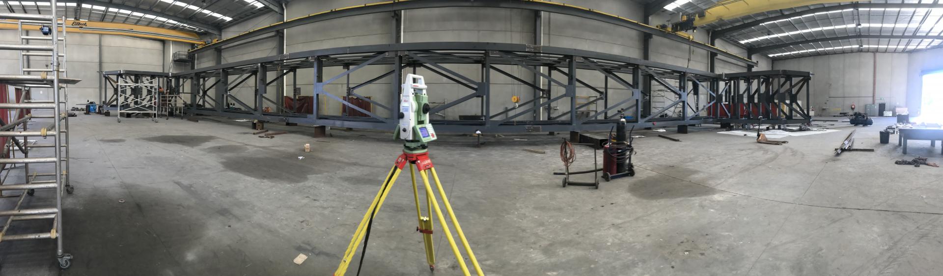
Welcome to the future of surveying and mapping with FLAT OUT METRO PTY LTD's cutting-edge drone mapping services. If you're looking for precision, efficiency, and the ability to access remote or challenging terrain, you've come to the right place. Our photogrammetry mapping services leverage high-resolution cameras mounted on advanced drones to capture detailed images from above. These images are processed using specialized software to create accurate 2D and 3D maps, models, and orthophotos. With a passion for innovation and a commitment to delivering superior results, our team of expert surveyors and drone operators are here to take your projects to new heights.
LiDAR Mapping
Our LiDAR mapping services utilize cutting-edge laser technology to measure distances accurately. Drones equipped with LiDAR sensors capture data points that are processed to create highly detailed 3D point cloud models of the surveyed area. Drones capture data with exceptional accuracy, providing reliable measurements and topographical information. We understand that every project is unique. We cater to a wide range of industries, including construction, agriculture, real estate, and environmental conservation. Our services are tailored to meet your specific needs and requirements. Our focus is on delivering actionable insights that support informed decision-making and project success. Ready to take your projects to new heights? Contact FLAT OUT METRO PTY LTD today to explore how our drone mapping services can benefit your business.
FLAT OUT METRO PTY LTD strives to provide the most accurate, detailed and comprehensive land surveys for property development use. Call us today for an appointment.